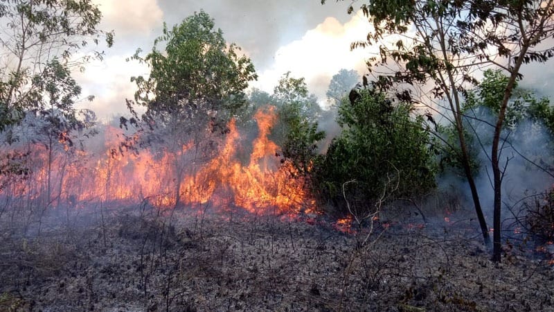
KANDANGAN (TABIRkota) – According to data from the Regional Disaster Management Agency (BPBD) of Hulu Sungai Selatan (HSS) Regency, South Kalimantan (Kalsel), 23.25 hectares of land in the regency have been affected by forest and land fires, or Karhutla.
The Head of the HSS BPBD, Kusairi, stated that the 23.25 hectares of land affected by the forest and land fires are spread across three districts.
“They are in the North Daha, West Daha, and South Daha Districts,” he said in Kandangan, the HSS capital, on Thursday, October 2.
According to Kusairi, the HSS BPBD continues to carry out forest and land fire management efforts to ensure the fires do not spread to residential areas and public facilities.
“The preliminary suspicion is that the forest and land fires were caused by land clearing activities by residents using fires,” he said.
Furthermore, the land fires are suspected to have been caused by carelessly discarded cigarette butts and mosquito coils.
Kusairi added that even though rain has begun to fall, the Forest and Land Fire Alert status at HSS remains in effect.
The HSS Regional Disaster Management Agency (BPBD) also continues to conduct routine patrols to monitor conditions on the ground and prevent any untoward incidents. (ra)